Aínsa
Aínsa | |
|---|---|
 | |
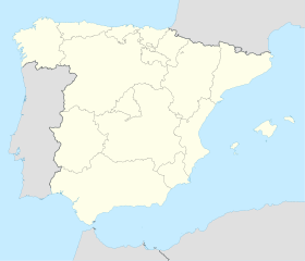
 Aínsa Map showing Aínsa in a map of Spain | |
| Coordinates: Coordinates: 42°25′00″N 0°08′00″E / 42.4167°N 0.1333°E | |
| Country | Spain |
| Autonomous region | Aragon |
| Province | Huesca |
| Comarca | Alto Gállego |
| Municipality | Aínsa-Sobrarbe |
| Time zone | CET |
| • Summer (DST) | CEST |

Geoscientists study the cliffs north of Ainsa.
Aínsa is the main town in the Aínsa-Sobrarbe municipal term, Aragon, Spain.
It is located south of the Pyrenees, in a geologically interesting setting at the north of Huesca.[1] Besides the surrounding mountain landscape, the 12th-century Iglesia parroquial de Santa María church and the 11th-century castle are the main sights of the town.

House in Santo Domingo Square
It is believed that there is a connection between the Ainsa and the Anza family surnames.[2]
References[]
- ^ "Los mejores pueblos a visitar en el interior español". Vipealo. Retrieved 9 December 2020.
- ^ Ainsa-Anza family connection
External links[]
| Wikimedia Commons has media related to Aínsa. |
Categories:
- Aínsa-Sobrarbe
- Province of Huesca geography stubs
