Alto Parnaíba
Alto Parnaíba | |
|---|---|
municipality | |
 Cachoeira das Tabocas | |
 Flag | |
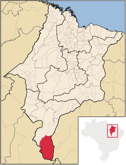 Location of Alto Parnaíba | |
| Coordinates: 09°06′39″S 45°55′48″W / 9.11083°S 45.93000°WCoordinates: 09°06′39″S 45°55′48″W / 9.11083°S 45.93000°W | |
| Country | Brazil |
| Region | Northeast |
| State | Maranhão |
| Founded | May 19, 1866 |
| Government | |
| • Mayor | Ranieri Avelino Soares |
| Area | |
| • Total | 11,132.105 km2 (4,298.130 sq mi) |
| Population (2020 [1]) | |
| • Total | 11,212 |
| • Density | 0.9/km2 (2/sq mi) |
| Time zone | UTC−3 (BRT) |
| HDI (2000) | 0.636 – medium[2] |

Alto Parnaíba is a Brazilian municipality in the southernmost tip of the state of Maranhão. In 2020, the city's population was 11,212.
The municipality contains part of the 724,324 hectares (1,789,840 acres) Nascentes do Rio Parnaíba National Park, created in 2002.[3]
References[]
- ^ IBGE 2020
- ^ "Archived copy". Archived from the original on 2009-10-03. Retrieved 2009-12-17.
{{cite web}}: CS1 maint: archived copy as title (link) - UNDP - ^ Unidade de Conservação: Parque Nacional das Nascentes do Rio Parnaíba (in Portuguese), MMA: Ministério do Meio Ambiente, retrieved 2016-05-01
 | This Maranhão, Brazil location article is a stub. You can help Wikipedia by . |
Categories:
- Municipalities in Maranhão
- Populated places established in 1866
- 1866 establishments in Brazil
- Maranhão geography stubs