Arrachart Airport
Arrachart Airport | |||||||||||
|---|---|---|---|---|---|---|---|---|---|---|---|
| Summary | |||||||||||
| Airport type | Public | ||||||||||
| Operator | Government | ||||||||||
| Serves | Antsiranana, Madagascar | ||||||||||
| Elevation AMSL | 374 ft / 114 m | ||||||||||
| Coordinates | 12°20′57″S 049°17′30″E / 12.34917°S 49.29167°E | ||||||||||
| Map | |||||||||||
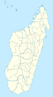 DIE Location within Madagascar | |||||||||||
| Runways | |||||||||||
| |||||||||||

Arrachart Airport (IATA: DIE, ICAO: FMNA) is an airport located near Antsiranana (formerly Diego-Suárez) in Madagascar.
Created before the Second World War as Camp Arrachart, a French military and civilian air facility, the airport was named after Ludovic Arrachart, a French aviator and pioneer of intercontinental flying, who made one of the first postal flights between France and Madagascar and died in an accident in 1933. The French air force (Armée de l'air) left in 1973.
Airlines and destinations[]
| Airlines | Destinations |
|---|---|
| Air Madagascar | Antananarivo, Dzaoudzi, Nosy Be, Saint-Denis de la Réunion, Sambava |
| Ewa Air | Dzaoudzi |
| Tsaradia | Antananarivo |
References[]
- ^ "Airport information for FMNA". World Aero Data. Archived from the original on 5 March 2019.
{{cite web}}: CS1 maint: unfit URL (link) Data current as of October 2006. Source: DAFIF. - ^ Airport information for FMNA at Great Circle Mapper. Source: DAFIF (effective October 2006).
External links[]
This article about an airport in Madagascar is a stub. You can help Wikipedia by . |
This Diana Region of Madagascar location article is a stub. You can help Wikipedia by . |
Categories:
- Airports in Madagascar
- Diana Region
- Southern African airport stubs
- Madagascar stubs
- Diana Region geography stubs