Attai
Attai
أتاي | |
|---|---|
Village | |
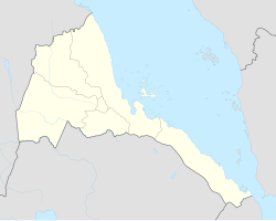 Attai Location in Eritrea | |
| Coordinates: 15°21′0″N 37°35′31″E / 15.35000°N 37.59194°ECoordinates: 15°21′0″N 37°35′31″E / 15.35000°N 37.59194°E | |
| Country | |
| Region | Gash-Barka |
| District | Mogolo |
| Elevation | 664 m (2,178 ft) |

Attai (Arabic: أتاي) is a village in western Eritrea.
Location[]
The town is located in Mogolo subregion in the Gash-Barka region. It is situated 4.1 miles from the district capital of Mogolo.
Nearby towns and villages include Hambok (7.4 nm), Mescul (5.7 nm), Aredda (5.1 nm), Chibabo (4.4 nm) and Abaredda (4.1 nm).
This Eritrea location article is a stub. You can help Wikipedia by . |
Categories:
- Villages in Eritrea
- Eritrea geography stubs