Attel
show This article may be expanded with text translated from the corresponding article in German. (September 2011) Click [show] for important translation instructions. |
| Attel | |
|---|---|
 | |
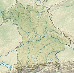 Location of mouth in Bavaria | |
| Location | |
| Country | Germany |
| State | Bavaria |
| Physical characteristics | |
| Mouth | |
• location | Inn |
• coordinates | 48°01′20″N 12°10′39″E / 48.0221°N 12.1774°ECoordinates: 48°01′20″N 12°10′39″E / 48.0221°N 12.1774°E |
| Length | 39.6 km (24.6 mi) [1] |
| Basin size | 331 km2 (128 sq mi) [1] |
| Basin features | |
| Progression | Inn→ Danube→ Black Sea |

Attel is a river of Bavaria, Germany. It flows into the Inn near Ramerberg.
See also[]
References[]
- ^ Jump up to: a b Complete table of the Bavarian Waterbody Register by the Bavarian State Office for the Environment (xls, 10.3 MB)
| show Authority control |
|---|
Categories:
- Tributaries of the Inn
- Rivers of Bavaria
- Rivers of Germany
- Bavaria river stubs