Augstenberg (Liechtenstein)
| Augstenberg | |
|---|---|
 The summit of Augstenberg | |
| Highest point | |
| Elevation | 2,359 m (7,740 ft) |
| Prominence | 251 m (823 ft) |
| Isolation | 2 km (1.2 mi) |
| Coordinates | 47°4′57″N 9°36′36″E / 47.08250°N 9.61000°ECoordinates: 47°4′57″N 9°36′36″E / 47.08250°N 9.61000°E |
| Geography | |
 Augstenberg | |
| Parent range | Rätikon, Alps |
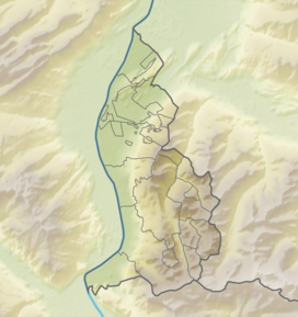
Augstenberg is a mountain in Liechtenstein in the Rätikon range of the Eastern Alps close to the border with Austria and the town of Malbun, with a height of 2,359 metres (7,740 ft).
References[]
- Unfolding Liechtenstein, Panorama Map (Map). Liechtenstein Tourismus. 2007.
- Feldkirch - Vaduz (Map). 1:50000. Wander, Bike- und Skitourenkarte. Cartography by Kompass-Karten GmbH. Kompass. 2007.
This Liechtenstein location article is a stub. You can help Wikipedia by . |
Categories:
- Mountains of the Alps
- Mountains of Liechtenstein
- Liechtenstein geography stubs