Beel Dakatia
| Beel Dakatia | |
|---|---|
 Beel Dakatia | |
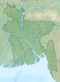
| Location | Khulna City: Khanjahan Ali, , Khulna District: Dumuria, Phultala Jessore District: Abhaynagar, Keshabpur, Monirampur |
| Coordinates | 22°55′N 89°27′E / 22.91°N 89.45°ECoordinates: 22°55′N 89°27′E / 22.91°N 89.45°E |
| Primary inflows | , Hari, Hamkura, Salta, Bhairab, Bhadra |
| Primary outflows | , Mayur River |
| Basin countries | Bangladesh |
| Surface area | 30,000 acres (120 km2) |
| Average depth | 2 m (6.6 ft) |
| Settlements | Khulna, |

Beel Dakatia or Dakater Beel is the second largest beel in Bangladesh. It is located in Khulna-Jessore region. In the 1980s, this beel became the curse of the people who lived upon this beel.[1][2][3]
Name[]
In Bengali ডাকাত (Dakat) means robber. Legend says robbers robbed the boats when they crosses this beel. That is why the people named it as Beel Dakatia.
References[]
- ^ "Beel Dakatia".
- ^ Ashikur Rahman, S.M.; Hasanuzzaman, Md.; Azam, Md. Ruhul; Hossain, Md. Akter; Hazhabuddin, Kh. (January 2010). "The Past and Present Fisheries Situation in Beel Dakatia Area" (PDF). Marine Resources and Aquaculture. 1 (1): 14–20. Retrieved March 16, 2019.
- ^ "Beel Dakatia's low-lying areas exposed to water stagnation again". Daily Sun. Retrieved 2019-03-16.
This Bangladesh location article is a stub. You can help Wikipedia by . |
Categories:
- Wetlands of Bangladesh
- Bangladesh geography stubs