Big River 118A
Big River 118A | |
|---|---|
| Big River Indian Reserve No. 118A | |
 Location in Saskatchewan | |
| First Nation | Big River |
| Country | Canada |
| Province | Saskatchewan |
| Area | |
| • Total | 393 ha (971 acres) |
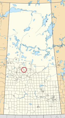
Big River 118A is an Indian reserve of the Big River First Nation in Saskatchewan.[1][2]
References[]
- ^ a b "Reserve/Settlement/Village Detail". Indigenous and Northern Affairs Canada. Government of Canada. Retrieved August 12, 2019.
- ^ "Canada Lands Survey System - CLSS Map Browser". Natural Resources Canada. Retrieved 2019-10-09.
| Cities | 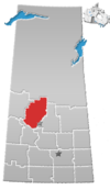 | |
|---|---|---|
| Towns |
| |
| Villages | ||
| Resort villages | ||
| Rural municipalities |
| |
| Crown colonies | ||
| First Nations | ||
| Indian reserves |
| |
| Unorganized areas | ||
| Unincorporated communities | ||
Coordinates: 53°27′49″N 107°02′50″W / 53.4635°N 107.0473°W

This article about a location in the Census Division No. 16 of Saskatchewan is a stub. You can help Wikipedia by . |
This article about an Indian reserve in Saskatchewan is a stub. You can help Wikipedia by . |
Categories:
- Indian reserves in Saskatchewan
- Division No. 16, Saskatchewan
- Saskatchewan Division No. 16 geography stubs
- Saskatchewan Indian reserve stubs