Bouhadid
Bouhadid | |
|---|---|
Village | |
 Bouhadid | |
| Coordinates: 29°52′28″N 1°50′18″W / 29.87444°N 1.83833°WCoordinates: 29°52′28″N 1°50′18″W / 29.87444°N 1.83833°W | |
| Country | |
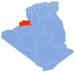
| Province | Béchar Province |
| District | El Ouata District |
| Commune | El Ouata[1] |
| Elevation | 433 m (1,421 ft) |
| Time zone | UTC+1 (CET) |

Bouhadid is a village in the commune of El Ouata,[1] in Béchar Province, Algeria. The village is located on the northeast bank of the Oued Saoura just north of El Ouata, and southeast of Tamtert.[2]
References[]
- ^ Jump up to: a b "Décret n° 84-365, fixant la composition, la consistance et les limites territoriale des communes. Wilaya d'El Oued" (PDF) (in French). Journal officiel de la République Algérienne. 19 December 1984. p. 1490. Archived from the original (PDF) on 2 March 2013 or before. Retrieved 2 March 2013. Check date values in:
|archivedate=(help) - ^ "Bou Hadid, Algeria". Google Maps. Retrieved 9 May 2013.
Neighbouring towns and cities
| show Places adjacent to Bouhadid |
|---|
This article about a location in Béchar Province is a stub. You can help Wikipedia by . |
Categories:
- Populated places in Béchar Province
- Algeria geography stubs