Bredebrae
| Bredebrae Bredebræ | |
|---|---|
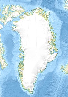
 Location within Greenland | |
| Location | Greenland |
| Coordinates | 76°36′N 22°50′W / 76.600°N 22.833°WCoordinates: 76°36′N 22°50′W / 76.600°N 22.833°W |
| Width | 27 km |
| Terminus | North Atlantic Ocean |
Bredebrae (Danish: Bredebræ; "Broad Glacier"), sometimes also known as "Brede Glacier",[1] is a large glacier in northeastern Greenland. It has its terminus on the east coast of the Greenland ice sheet.[2]
Geography[]
The mighty Bredebrae is the front[3] or the confluence of two very large glaciers, the Storstrommen flowing from the north and the from the south.[4]
Bredebrae is a broad glacier producing masses of large icebergs with its terminus to the north and west of Lindhard Island at the head of , west of Dove Bay, Greenland Sea. A huge amount of ice constantly drifts out of the fjord from the glacier, completely clogging the entrance of the fjord with multitude of irregularly-shaped icebergs.[5]
 Map of Northeastern Greenland. |
 Bredebrae east of Queen Louise Land. |
See also[]
References[]
- ^ Captain Koch's Crossing of Greenland, Bulletin of the American Geographical Society, Vol. 46, No. 5 (1914), pp. 356-360
- ^ "Bredebræ". Mapcarta. Retrieved 21 April 2016.
- ^ Fluctuations of Glaciers 1990-1995 (Vol. VII)
- ^ "Catalogue of place names in northern East Greenland". Geological Survey of Denmark. Retrieved 21 April 2016.[permanent dead link]
- ^ Prostar Sailing Directions 2005 Greenland and Iceland Enroute, p. 126
External links[]
Categories:
- Glaciers of Greenland
- Greenland geography stubs
