Cape Kakiviak Short Range Radar Site
| Cape Kakiviak Radar Site (LAB-1) | |
|---|---|
| Part of North Warning System | |
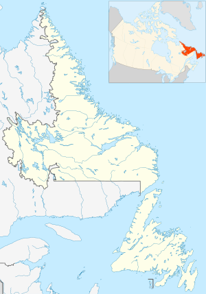
| Labrador, Canada | |
 | |
| Coordinates | 59°59′15″N 064°09′55″W / 59.98750°N 64.16528°W |
| Type | Short Range Radar Station |
| Code | LAB-1 |
| Site information | |
| Controlled by | North American Aerospace Defense Command |
| Site history | |
| Built | July 1992 |
| Built by | Royal Canadian Air Force |
| In use | 1992-present |

Cape Kakiviak (LAB-1)
Cape Kakiviak Short Range Radar Site (LAB-1) is a Royal Canadian Air Force Short Range Radar Site located in the Torngat Mountains of northern Labrador, 505 miles (813 km) north of CFB Goose Bay, Newfoundland and Labrador.[1]
Facilities[]
The facility contains a Short Range AN/FPS-124 doppler airborne target surveillance radar that was installed in July 1992 as part of the North Warning System. The site (LAB-1) also consists of radar towers, communications facility, and storage and tunnel connected buildings for personnel.[2]
See also[]
References[]
![]() This article incorporates public domain material from the Air Force Historical Research Agency website http://www.afhra.af.mil/.
This article incorporates public domain material from the Air Force Historical Research Agency website http://www.afhra.af.mil/.
- ^ "North Warning System". 1swilson.ca. Retrieved 2013-09-22.
- ^ "The DEW LINE Sites in Canada, Alaska & Greenland". Lswilson.ca. Retrieved 2013-09-22.
External links[]
- About NORAD Public information
- Radar Information AN/FPS-117 Radar information from FAS
- Technical Radar Information AN/FPS-124 Radar information from FAS
Categories:
- Military installations in Newfoundland and Labrador
- Royal Canadian Air Force stations
- Canadian Forces bases in Newfoundland and Labrador