Capitol District (Harrisburg, Pennsylvania)
Capitol District | |
|---|---|
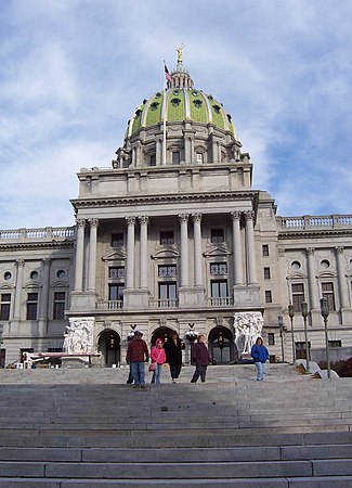 Capitol building inside the Capitol District | |
| Coordinates: 40°16′01″N 76°52′52″W / 40.267°N 76.881°WCoordinates: 40°16′01″N 76°52′52″W / 40.267°N 76.881°W | |
| Country | |
| State | Pennsylvania |
| County | Dauphin County |
| City | Harrisburg |
| Area code(s) | 717 and 223 |

The Capitol District is a neighborhood adjacent to the state capitol in Harrisburg, Pennsylvania. It is delineated by Forster St. to the North, Walnut St. to the South, 3rd St. to the East, and the Susquehanna River to the west.[1] This neighborhood borders the large Pennsylvania State Capitol Complex and has easy access to the downtown Harrisburg. The Capital District is home to Saint Patrick's Cathedral, many beautiful houses, and several small bistros.
References[]
- ^ City of Harrisburg (2004). "Map of Capitol District" (PDF). harrisburgpa.gov/. Archived from the original (PDF) on September 27, 2007. Retrieved 2006-12-28.
See also[]
Categories:
- Neighborhoods in Harrisburg, Pennsylvania