Castle Mountain (Pendleton County, West Virginia)
| Castle Mountain | |
|---|---|
 Castle Mountain | |
| Highest point | |
| Elevation | 3,410 ft (1,040 m)[1] |
| Coordinates | 38°38′45″N 79°25′05″W / 38.6459493°N 79.4181009°WCoordinates: 38°38′45″N 79°25′05″W / 38.6459493°N 79.4181009°W[2] |
| Geography | |
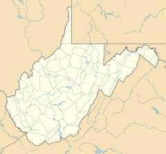
| Location | Pendleton County, West Virginia, U.S. |
| Parent range | Ridge-and-Valley Appalachians |
| Topo map | USGS Circleville |
| Climbing | |
| Easiest route | Hike |

Castle Mountain is a forested mountain ridge in Pendleton County, West Virginia, in the United States. Running from the southwest to the northeast, the mountain is bounded to its west by North Fork Mountain and to its east by a series of rolling hills.
References[]
- ^ "Castle Mountain". ListsOfJohn.com. Retrieved 2013-01-29.
- ^ "Castle Mountain". Geographic Names Information System. United States Geological Survey. Retrieved 2013-01-29.
Categories:
- Landforms of Pendleton County, West Virginia
- Ridges of West Virginia