Chak 130
This article does not cite any sources. (March 2009) |
Chak 130 SB | |
|---|---|
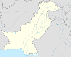 Chak 130 SB Location in Pakistan | |
| Coordinates: 31°50′0″N 73°38′0″E / 31.83333°N 73.63333°ECoordinates: 31°50′0″N 73°38′0″E / 31.83333°N 73.63333°E | |
| Country | |
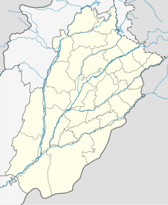
| Province | |
| District | Sargodha |
| Tehsil | Sillanwali |

Chak 130 SB is a village in Sillanwali Tehsil, Sargodha District in Punjab, Pakistan. Its neighbouring villages are Chak 132 SB, Chak 131 SB, Chak 28 SB, and Chak 50 SB. This village is an agricultural area.
Being a part of Kirana Bar it was colonized by the British Raj after World War I. Almost all of the villagers were immigrants who came at the time of the Partition of India. Most of the immigrants belonged to the Jalander, Amritsar, and Ambala districts of pre-partitioned Punjab.
Nowadays most of the land owning families belong to Arain, Rajput, Jutt and Muhajir Pathan communities. Labourers have settled from the adjoining areas of Jhang District, and belong to the Syal and Musalli communities.
Facilities[]
The village has a Boys Middle School, Boys Primary School and Girls Primary school. The telephone exchange serving nearby villages is located in it. A rural health centre and a veterinary hospital are also situated in the village.
The nearest city is Sillanwali which is the Tehsil headquarters and location of the police station.
Neighbourhoods of Sargodha | ||
|---|---|---|
Administrations: Sargodha Division and Sargodha District | ||
| Tehsils |  | |
| Cities |
| |
| Towns & councils | ||
| Localities |
| |
Website: Sargodha District at NRB | ||
This article about a location in Sargodha District, Punjab, Pakistan is a stub. You can help Wikipedia by . |
- Punjab, Pakistan geography stubs
- Populated places in Sargodha District