Chanterelle, Les Anglais, Haiti
Chanterelle | |
|---|---|
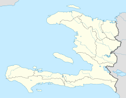 Chanterelle Location in Haiti | |
| Coordinates: 18°21′00″N 74°11′16″W / 18.3499355°N 74.1877207°WCoordinates: 18°21′00″N 74°11′16″W / 18.3499355°N 74.1877207°W | |
| Country | Haiti |
| Department | Sud |
| Arrondissement | Chardonnières |
| Elevation | 401 m (1,316 ft) |

Chanterelle is a rural settlement in the Les Anglais commune of the Chardonnières Arrondissement, in the Sud department of Haiti.[1][2]
See also[]
References[]
- ^ Google (27 August 2014). "Location" (Map). Google Maps. Google. Retrieved 27 August 2014.
- ^ "National Geospatial-Intelligence Agency". GeoNames Search. Retrieved 29 August 2014.
This article about a location in Haiti is a stub. You can help Wikipedia by . |
Categories:
- Populated places in Sud (department)
- Haiti geography stubs