Childs Glacier
| Childs Glacier | |
|---|---|
 Location of Childs Glacier in Antarctica | |
| Location | Queen Elizabeth Land |
| Coordinates |  83°24′S 58°40′W / 83.400°S 58.667°W / -83.400; -58.667 83°24′S 58°40′W / 83.400°S 58.667°W / -83.400; -58.667 |
| Thickness | unknown |
| Terminus | Foundation Ice Stream |
| Status | unknown |
Childs Glacier ( WikiMiniAtlas83°24′S 58°40′W / 83.400°S 58.667°W / -83.400; -58.667) is a glacier in the Neptune Range of the Pensacola Mountains, draining westward from Roderick Valley to enter Foundation Ice Stream. It was mapped by the United States Geological Survey from surveys and from U.S. Navy air photos, 1956–66, and named by the Advisory Committee on Antarctic Names for , a builder at Ellsworth Station, winter 1958.

Childs Glacier, date unknown, before 1936

Childs Glacier, between 1901 and 1911

Childs Glacier calving, ca. 1913

Childs Glacier, 1916

Childs Glacier calving, 2006
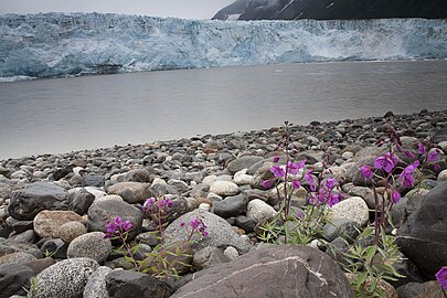
Childs Glacier, 2006


See also[]
- List of glaciers in the Antarctic
- Glaciology
References[]
 This article incorporates public domain material from the United States Geological Survey document: "Childs Glacier". (content from the Geographic Names Information System)
Glaciers | |||||||
|---|---|---|---|---|---|---|---|
| Types |
| ||||||
| Anatomy |
| ||||||
| Processes |
| ||||||
| Measurements |
| ||||||
| Volcanic relations | |||||||
| Landforms |
| ||||||
| |||||||
Glaciers in the Antarctic | |
|---|---|
|
Glaciers of Queen Elizabeth Land | |
|---|---|
|
This article about a location in Queen Elizabeth Land or on the Filchner-Ronne Ice Shelf is a stub. You can help Wikipedia by . |
- v
- t
This article about a glacier in Antarctica or antarctic or sub-antarctic islands is a stub. You can help Wikipedia by . |
- v
- t
- Glaciers of Queen Elizabeth Land
- Queen Elizabeth Land geography stubs
- Antarctica glacier stubs
- Articles with short description
- Short description matches Wikidata
- Coordinates on Wikidata
- Wikipedia articles incorporating text from the USGS Geographic Names Information System
- All stub articles