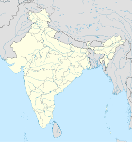
Chiranbal
| Chiranbal | |
|---|---|
| Cheranbal | |
 | |
 Chiranbal  Chiranbal | |
| Geography | |
| Country | India |
| State | Jammu and Kashmir |
| Region | Kashmir region |
| District | Kulgam district |
| Coordinates | 33°35′40″N 74°49′08″E / 33.59440451165594°N 74.81900026697136°ECoordinates: 33°35′40″N 74°49′08″E / 33.59440451165594°N 74.81900026697136°E |
Chiranbal is a tourist attraction, a meadow and a hiking destination in the Kulgam district of Jammu and Kashmir, India.[1] It is situated at a distance of 43 km from Aharbal and 75 km from Srinagar.[2]
Chiranbal is the largest sub-alpine meadow of Kashmir, provides a landscape where the snowcapped peaks of the Brahma Sakli Mountain overlook a vast area covered with emerald grassland and pine forest with the Zajinar river flowing through it.[3] The meadow consists of twin pastures named Haer (Small) Chiranbal and Bon (Big). Bon Chiranbal placed at the higher glade of the Chinarbal Meadow have large area of grasslands.[4][5][6][7][8]
References[]
- ^ "CHIRANBAL District Kulgam, Government of Jammu and Kashmir". Retrieved 25 October 2021.
- ^ "Tips on exploring the unexplored Chiranbal". Kashmir Reader. 20 June 2021. Retrieved 18 December 2021.
- ^ Syed Aamir Sharief Qadri (19 July 2020). "Why Should We Start Looking Beyond Kounsarnag?". Kashmir Life. Retrieved 18 December 2021.
- ^ "Rameez shah". scholar.google.co.in. Retrieved 2021-10-25.
- ^ Shah, Rameez (2021-06-20). Exploring Chiranbal.
- ^ "The HJ/46/11 BRAHMA SAKLI EXPEDITION, 1989". The HJ/46/11 BRAHMA SAKLI EXPEDITION, 1989. Retrieved 2021-10-25.
- ^ "Cheranbal, Kulgam on Google Maps". maps.google.com. Retrieved 2021-10-25.
- ^ "Chiranbal Meadows | SetMyTrip". 2022-01-12. Retrieved 2022-01-12.
Categories:
- Tourism
- Jammu and Kashmir
- Kulgam district
- Tourism stubs
- Jammu and Kashmir geography stubs