Chuckwalla Valley
| Chuckwalla Valley | |
|---|---|
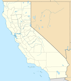
 Chuckwalla Valley Chuckwalla Valley in southeast California
 Flowers in Chuckwalla Valley near Desert Center, CA. | |
| Length | 48 mi (77 km) WNW-ESE |
| Width | 16 mi (26 km) |
| Geography | |
| Country | United States |
| State | California |
| Region | Mojave Desert |
| County | Riverside |
| Communities | Desert Center and Eagle Mountain |
| Borders on | |
| Coordinates | 33°38′27″N 115°01′08″W / 33.640856°N 115.0188589°WCoordinates: 33°38′27″N 115°01′08″W / 33.640856°N 115.0188589°W |

The Chuckwalla Valley is a large valley in eastern Riverside County, California, named for a large lizard, the chuckwalla found in the arid Southwestern United States deserts.
The region of the valley in southeast California, is the low elevation section of the Mojave Desert transitioning into the Colorado Desert, the northwest extension (in California) of the Sonoran Desert. The region is notable for valleys containing bajadas, sand dunes, and intermittent, dry, or saline lakes. Chuckwalla Valley contains ()[1] in the east-southeast; () occurs in the center-northwest, at the south terminus of the smaller, north-south .
The south end of the valley expands slightly northwest-by-southeast, and contains Danby Dry Lake, a 13-mi (21 km)
See also[]
- Desert Center, California
- Valleys of Riverside County
References[]
External links[]
- Ford Lake (Ford Dry Lake), coordinates & elevation at topozone.com
 Media related to Chuckwalla Valley at Wikimedia Commons
Categories:
- Endorheic basins of the United States
- Valleys of the Mojave Desert
- Valleys of Riverside County, California