Craiginour
| Craiginour | |
|---|---|
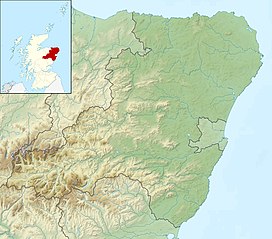 Craiginour Location in Aberdeenshire, Scotland | |
| Highest point | |
| Elevation | 355 m (1,165 ft)[1] |
| Coordinates | 56°58′17″N 2°25′13″W / 56.9714°N 2.4203°WCoordinates: 56°58′17″N 2°25′13″W / 56.9714°N 2.4203°W |
| Geography | |
| Location | Aberdeenshire, Scotland, UK |

Craiginour is a hill located near Cowie Water in Stonehaven, Aberdeenshire, Scotland. Its summit is at 355 metres (1,165 ft).[1]
References[]
- ^ a b "Craiginour, Aberdeenshire - area information, map, walks and more". OS GetOutside. Retrieved 30 September 2021.
This mountain, mountain range, or peak related article is a stub. You can help Wikipedia by . |
Categories:
- Landforms of Aberdeenshire
- Mountains and hills of Aberdeenshire
- Mountain stubs