Cumbie Glacier
| Cumbie Glacier | |
|---|---|
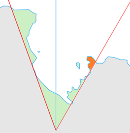 Location of King Edward VII Land (marked in orange) within the Ross Dependency | |
 Location of Cumbie Glacier in Antarctica | |
| Type | steep |
| Location | King Edward VII Land |
| Coordinates |  77°13′S 154°12′W / 77.217°S 154.200°W / -77.217; -154.200 77°13′S 154°12′W / 77.217°S 154.200°W / -77.217; -154.200 |
| Thickness | unknown |
| Terminus | Sulzberger Bay |
| Status | unknown |
Cumbie Glacier ( WikiMiniAtlas77°13′S 154°12′W / 77.217°S 154.200°W / -77.217; -154.200) is a short, steep glacier just east of the Scott Nunataks, flowing north into the Swinburne Ice Shelf along the southwest side of Sulzberger Bay. It was mapped by the United States Geological Survey from surveys and from U.S. Navy air photos, 1959–66, and named by the Advisory Committee on Antarctic Names for , U.S. Navy. An aviation electronics technician, Cumbie was a radioman on the ski-equipped R4D aircraft carrying Rear Admiral George Dufek that was the first to land at the geographic South Pole, October 31, 1956.
See also[]
- List of glaciers in the Antarctic
- Glaciology
References[]
 This article incorporates public domain material from the United States Geological Survey document: "Cumbie Glacier". (content from the Geographic Names Information System)
Glaciers | |||||||
|---|---|---|---|---|---|---|---|
| Types |
| ||||||
| Anatomy |
| ||||||
| Processes |
| ||||||
| Measurements |
| ||||||
| Volcanic relations | |||||||
| Landforms |
| ||||||
| |||||||
Glaciers in the Antarctic | |
|---|---|
|
Glaciers of the Ross Dependency | |
|---|---|
| King Edward VII Land |
|
| Ross Dependency |
|
This article about a glacier in the Ross Dependency is a stub. You can help Wikipedia by . |
- v
- t
- Glaciers of King Edward VII Land
- Ross Dependency glacier stubs
- Coordinates on Wikidata
- Wikipedia articles incorporating text from the USGS Geographic Names Information System
- All stub articles