East Branch North Fork Feather River
| East Branch North Fork Feather River | |
|---|---|
 View of East Branch from SR 70 | |
| Location | |
| Country | United States |
| State | California |
| Region | East Branch North Fork Feather Watershed |
| Physical characteristics | |
| Source confluence | Indian & Spanish creeks |
| • elevation | 2,893 ft (882 m)[1][2] |
| Mouth | North Fork Feather River |
• coordinates | 40°00′51″N 121°13′32″W / 40.01417°N 121.22556°WCoordinates: 40°00′51″N 121°13′32″W / 40.01417°N 121.22556°W |
• elevation | 2,274 ft (693 m)[3] |
| Length | 18.1 mi (29.1 km)[4] |
| Basin size | 1,010 sq mi (2,600 km2)[5] |
| Discharge | |
| • location | North Fork Feather River[6] |
| • average | 1,039 cu ft/s (29.4 m3/s)[7] |
| • minimum | 30.5 cu ft/s (0.86 m3/s) |
| • maximum | 88,800 cu ft/s (2,510 m3/s) |
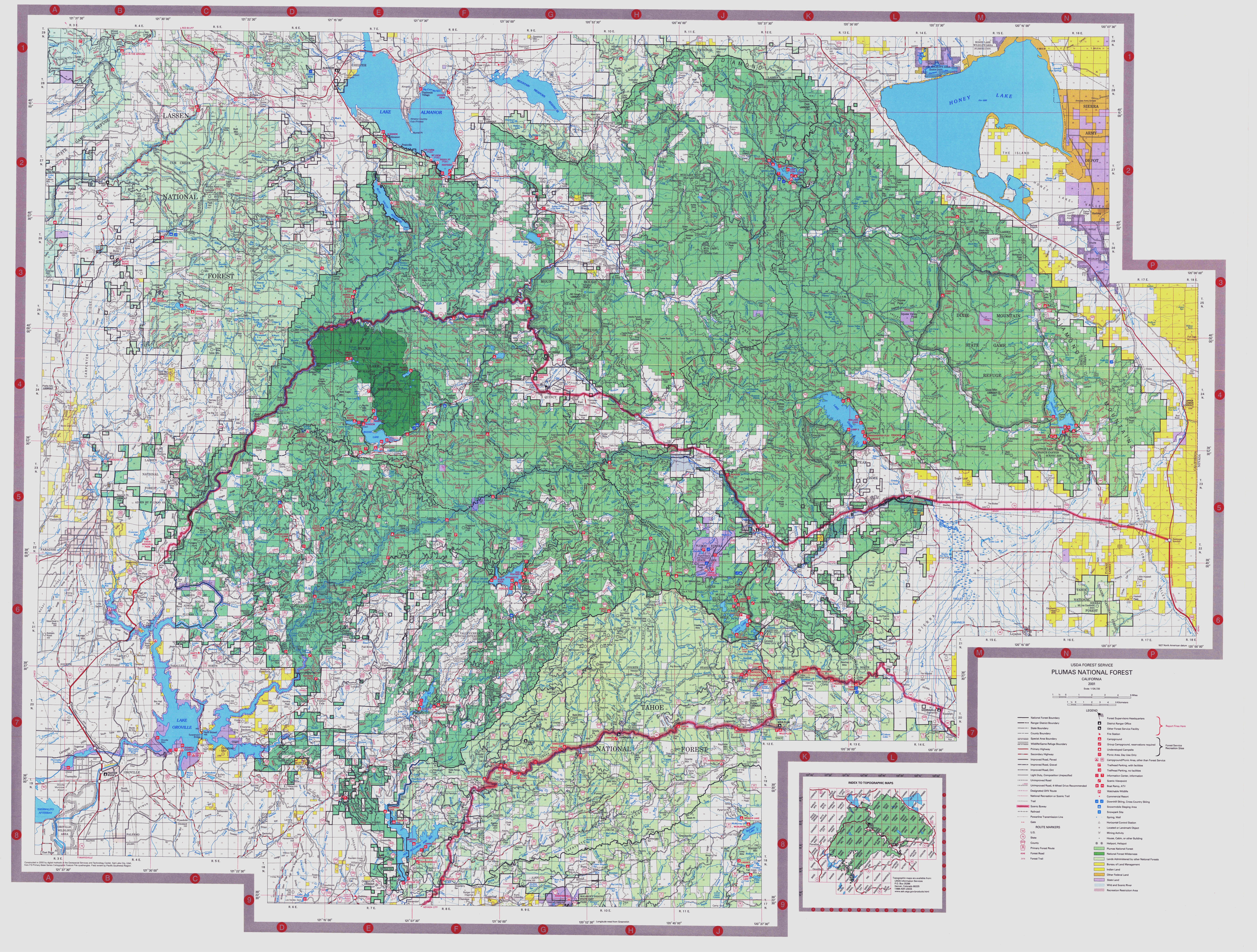
The East Branch North Fork Feather River is a left tributary of the North Fork Feather River in the northern Sierra Nevada, Plumas County, California. Primarily within the Plumas National Forest, its course extends from Paxton (north of Quincy) to Belden.[8]
Course[]
The East Branch is formed by the confluence of Indian Creek and Spanish Creek just upstream of Paxton. Indian Creek and Spanish Creek drain an extensive watershed along about 46 miles (74 km) of the Sierra Crest in eastern Plumas County, along its border with Lassen County. Indian Creek is 47 miles (76 km) long, but is 71 miles (114 km) long measured to the head of its tributary Last Chance Creek. Spanish Creek, the smaller of the two, is about 28 miles (45 km) long.
From the confluence, the East Branch winds west for 18.1 miles (29.1 km)[4] through a steep and narrow canyon until its confluence with the North Fork near Belden, about 60 miles (97 km) northeast of Oroville. The river canyon is an important transportation corridor, forming route for SR 70, which parallels the north bank of the river, and for the Union Pacific Railroad's Feather River Route on the south bank. The Feather River Route was originally constructed between 1906 and 1909 while the highway was built in the 1920s.
There are several large alluvial valleys in the East Branch watershed. Indian Creek flows through Indian Valley, which includes the communities of Greenville and Taylorsville. Spanish Creek flows through the American Valley, which includes Quincy, the county seat of Plumas County.[9] Settlers drained the valley's wet meadows for cattle and hay production, and its stream channels are deeply incised (beavers were nearly eliminated).[8][10]
See also[]
References[]
- ^ "USGS National Map Viewer". Archived from the original on 2012-04-05. Retrieved 2012-07-26.
- ^ "USGS Elevation Web Service Query". United States Geological Survey. Archived from the original on 2010-05-27. Retrieved 2010-02-19.[verification needed]
- Oroville Dam: Query of "…X_Value=-121.483889&Y_Value=39.536111…" returns 733.550264453639 ft[verification needed]
- ^ "East Branch North Fork Feather River". Geographic Names Information System. United States Geological Survey.
- ^ Jump up to: a b "National Hydrography Dataset via National Map Viewer". U.S. Geological Survey. Retrieved 2019-05-26.
- ^ "Boundary Descriptions and Names of Regions, Subregions, Accounting Units and Cataloging Units". USGS.gov. Retrieved 2010-08-22.
- ^ Wills, Leah. "Upper Feather River Integrated Regional Water Management Plan" (PDF). Plumas County. Archived from the original (PDF) on 2 September 2011. Retrieved 4 August 2010.
- ^ "USGS Gage #11403000 EB of NF Feather River near Rich Bar, CA". National Water Information System. U.S. Geological Survey. 1950–1982. Retrieved 2019-05-26.
- ^ Jump up to: a b "Plumas National Forest map". Retrieved 2010-08-22.
- ^ Holly George, David Lile, Cheree Childers, Cindy Noble, Andrea Oilar, Katherine Haworth, Kristen Schmidt, and Gabe Miller (March 2007). "Upper Feather River Watershed (UFRW) Irrigation Discharge Management Program" (PDF). University of California Division of Agriculture and Natural Resources.CS1 maint: multiple names: authors list (link)
- ^ George, Holly; et al. "Upper Feather River Watershed (UFRW) Irrigation Discharge Management Program" (PDF). University of California. Archived from the original (PDF) on 2010-06-12. Retrieved 2010-09-08.
Two main watercourses, Spanish Creek and , run through the [American] valley. They converge at the end of the valley and the combined flow merges further downstream with to form part of the East Branch of the North Fork of the Feather River.
(p. 19)
External links[]
- Tributaries of the Feather River
- Rivers of Plumas County, California
- Rivers of the Sierra Nevada (U.S.)
- Feather Headwaters
- Plumas National Forest
- Rivers of Northern California
- Rivers of the Sierra Nevada in California