
Eilean an Ròin Mòr
| Scottish Gaelic name | Eilean an Ròin Mòr |
|---|---|
| Meaning of name | large seal island |
 | |
| Location | |
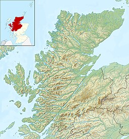 Eilean an Ròin Mòr En an Ròin Mòr shown within Highland Scotland | |
| OS grid reference | NC177584 |
| Coordinates | 58°28′34″N 5°07′37″W / 58.476°N 5.127°W |
| Physical geography | |
| Island group | Highland / Islands of Sutherland |
| Area | 33 hectares (0.13 sq mi) |
| Highest elevation | 63 metres (207 ft) |
| Administration | |
| Sovereign state | United Kingdom |
| Country | Scotland |
| Council area | Highland |
| Demographics | |
| Population | 0 |
| References | [1][2][3] |
Eilean an Ròin Mòr is an uninhabited island in north west Sutherland.
Geography[]
Eilean an Ròin Mòr, with its neighbour, Eilean an Ròin Beag, forms rocky peninsula to the north of Oldshoremore beach.[2] Only a narrow channel separates it from the mainland.[3]
The rocky island has little vegetation.[2]
Footnotes[]
- ^ 2001 UK Census per List of islands of Scotland
- ^ a b c Haswell-Smith, Hamish (2004). The Scottish Islands. Edinburgh: Canongate. ISBN 978-1-84195-454-7.
- ^ a b Ordnance Survey
| Wikimedia Commons has media related to Eilean an Ròin Mòr. |
This Highland location article is a stub. You can help Wikipedia by . |
Categories:
- Islands of Sutherland
- Uninhabited islands of Highland (council area)
- Highland geography stubs