Fannaråkbreen
| Fannaråkbreen | |
|---|---|
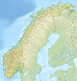
 Location of the glacier | |
| Type | Mountain glacier |
| Location | Vestland, Norway |
| Coordinates | 61°31′21″N 7°55′09″E / 61.5224°N 7.9192°ECoordinates: 61°31′21″N 7°55′09″E / 61.5224°N 7.9192°E |
| Area | 6.2 km2 (2.4 sq mi) |
Fannaråkbreen is a glacier in the municipality of Luster in Vestland county, Norway. It covers an area of about 6.2-square-kilometre (2.4 sq mi), and consists of three parts.[1] The glacier covers the eastern and northern sides of the mountain of Fannaråki,[2] and is located within the Jotunheimen National Park.[1]
See also[]
References[]
- ^ a b Lauritzen, Per Roger, ed. (2009). "Fannaråkbreen". Norsk Fjelleksikon (in Norwegian). Arendal: Friluftsforlaget. ISBN 978-82-91-49547-7.
- ^ Lauritzen, Per Roger, ed. (2009). "Fannaråken [Fannaråki]". Norsk Fjelleksikon (in Norwegian). Arendal: Friluftsforlaget. ISBN 978-82-91-49547-7.
Categories:
- Glaciers of Vestland
- Luster, Norway
- Vestland geography stubs

