Faulkner Nunatak
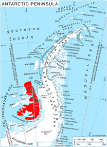
Faulkner Nunatak (69°36′S 71°42′W / 69.600°S 71.700°WCoordinates: 69°36′S 71°42′W / 69.600°S 71.700°W) is a distinctive nunatak, about 200 metres (660 ft) high, just west of Beagle Peak and 9.5 km west by south of Mount Devol in the Lassus Mountains, in the northwest part of Alexander Island, Antarctica. The feature appears in U.S. Navy aerial photographs obtained in 1966. It was named by the Advisory Committee on Antarctic Names after , U.S. Navy, Leading Chief of Squadron VXE-6 Photo Division on Operation Deep Freeze, 1969.[1]
 WikiMiniAtlas
See also[]
References[]
- ^ "Faulkner Nunatak". Geographic Names Information System. United States Geological Survey. Retrieved 2012-03-16.
![]() This article incorporates public domain material from the United States Geological Survey document: "Faulkner Nunatak". (content from the Geographic Names Information System)
This article incorporates public domain material from the United States Geological Survey document: "Faulkner Nunatak". (content from the Geographic Names Information System)
This Alexander Island location article is a stub. You can help Wikipedia by . |
- Nunataks of Alexander Island
- Alexander Island geography stubs