Gleann Dubh
This article includes a list of general references, but it remains largely unverified because it lacks sufficient corresponding inline citations. (October 2012) |
| Gleann Dubh | |
|---|---|
 | |
 Gleann Dubh | |
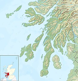
| Location | Barcaldine, Scotland |
| Coordinates | 56°31′43″N 5°17′16″W / 56.5287°N 5.2878°WCoordinates: 56°31′43″N 5°17′16″W / 56.5287°N 5.2878°W grid reference NM97804230 |
| Type | Reservoir |
| Basin countries | Scotland, United Kingdom |
| Surface area | 166,000 m2 (1,790,000 sq ft) |
| Surface elevation | 32 m (105 ft) |

The reservoir (the "Black Glen") is an impounding reservoir located 9 kilometres north east of the Connel Bridge in . The earthen dam is 23.4 metres high and was completed in 1984. The reservoir provides a supply of water for the hydroelectric scheme at the Marine Resource Centre in the village of Barcaldine.

The Marine Resource Centre, Barcaldine
See also[]
- List of reservoirs and dams in the United Kingdom
Sources[]
- "Argyll and Bute Council Reservoirs Act 1975 Public Register"
- "The Forests of North Argyll" - The Forestry Commission
This Scotland-related article is a stub. You can help Wikipedia by . |
Categories:
- Reservoirs in Argyll and Bute
- Scotland stubs