Gokulganga Rural Municipality
Gokulganga
गोकुलगंगा गाउँपालिका | |
|---|---|
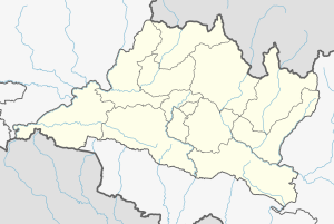
 Gokulganga Location in Nepal | |
| Coordinates: 27°32′59″N 86°11′59″E / 27.54972°N 86.19972°E | |
| Country | |
| Region | Central |
| District | Ramechhap District |
| Province | Bagmati Province |
| Established | 10 March 2017 |
| Government | |
| • Type | Rural council |
| • Chairperson | Khadga Bahadur Sunuwar (UML) |
| • Deputy Chairperson | Radhika Shrestha(Newar) |
| Area | |
| • Total | 43.9 km2 (16.9 sq mi) |
| Population | |
| • Total | 20,074 |
| • Density | 460/km2 (1,200/sq mi) |
| • Ethnicities | Sunuwar Newar Bahun Chhetri Tamang Sherpa |
| Time zone | UTC+5:45 (Nepal Time) |
| Postal code | 45400 |
| Area code(s) | 048 |
| Website | gokulgangamun |
Gokulganga Rural Municipality (Nepali: गोकुलगंगा गाउँपालिका) is a Rural municipality in Ramechhap District of Bagmati Province in Nepal.[1]
References[]
- ^ "Gokulganga (Rural Municipality, Nepal) - Population Statistics, Charts, Map and Location". www.citypopulation.de. Retrieved 17 April 2020.
Categories:
- Rural municipalities in Ramechhap District
- Ramechhap District
- Populated places in Ramechhap District
- Rural municipalities of Nepal established in 2017


