Gomal Pass
This article needs additional citations for verification. (March 2017) |
| Gomal Pass | |
|---|---|
| Gumal Pass[1] | |
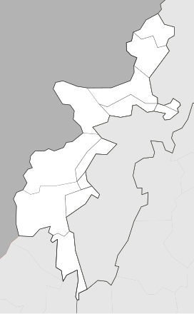
 Location of Gomal Pass | |
| Location | Afghanistan–Pakistan border |
| Range | Hindu Kush |
| Coordinates | 31°55′00″N 69°19′00″E / 31.9167°N 69.3167°ECoordinates: 31°55′00″N 69°19′00″E / 31.9167°N 69.3167°E |

Gomal Pass (Pashto: ګومل) is a mountain pass on the Durand Line border between Afghanistan and the southeastern portion of South Waziristan in Pakistan's Federally Administered Tribal Areas. It takes its name from the Gomal River[2] and is midway between the legendary Khyber Pass and the Bolan Pass. It connects Ghazni in Afghanistan with Tank and Dera Ismail Khan in Pakistan.[1] Gomal Pass, for a long time, has been a trading route for nomadic Powindahs.[3]
Two Pakistani rivers of Shna Pasta and Shore Mānda as well as Mandz Rāghah Kowri stream in Afghanistan flow close to Gomal Pass.[4]
See also[]
References[]
- ^ a b "Gumal Pass, Pakistan". Encyclopedia Britannica. Retrieved 28 March 2017.
- ^ Wynbrandt, James. A Brief History of Pakistan. Infobase Publishing. p. 6. ISBN 9780816061846. Retrieved 28 March 2017.
- ^ "Gumal Pass | pass, Pakistan". Encyclopedia Britannica. Retrieved 10 May 2020.
- ^ "The Gomal Pass". www.mapsofindia.com. Retrieved 10 May 2020.
Mountain passes of Pakistan | |||||
|---|---|---|---|---|---|
| On the border |
| ||||
| In the interior | |||||
| |||||
This Khyber Pakhtunkhwa location article is a stub. You can help Wikipedia by . |
This Afghanistan location article is a stub. You can help Wikipedia by . |
Categories:
- Mountain passes of Afghanistan
- Afghanistan–Pakistan border crossings
- Mountain passes of Khyber Pakhtunkhwa
- Khyber Pakhtunkhwa geography stubs
- Afghanistan geography stubs