Grafenwöhr Army Airfield
Grafenwöhr Army Airfield | |||||||||||
|---|---|---|---|---|---|---|---|---|---|---|---|
 | |||||||||||
| Summary | |||||||||||
| Airport type | Military | ||||||||||
| Operator | United States Army | ||||||||||
| Elevation AMSL | 1,361 ft / 415 m | ||||||||||
| Coordinates | 49°41′55″N 11°56′25″E / 49.6985°N 11.9402°ECoordinates: 49°41′55″N 11°56′25″E / 49.6985°N 11.9402°E | ||||||||||
| Map | |||||||||||
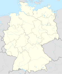 Grafenwöhr AAF Location in Germany | |||||||||||
| Runways | |||||||||||
| |||||||||||

Grafenwöhr Army Airfield (ICAO: ETIC) is a military airport near Grafenwöhr, a small town in Bavaria, Germany. It is located adjacent to the Grafenwöhr Training Area, for which it acts as an air assault zone.[3]
References[]
- ^ DoD Flight Information Publication (Terminal) - High and Low Altitude Europe North Africa and Middle East. 3. St. Louis, Missouri: National Geospatial-Intelligence Agency. 2020. p. 100.
- ^ Airport Diagram for Grafenwöhr Army Airfield, United States Army, 2020-10-08, retrieved 2021-04-11
- ^ "Grafenwohr Army Base". www.army-technology.com. Retrieved 2021-04-11.
This article about an airport in Germany is a stub. You can help Wikipedia by . |
Categories:
- European airport stubs
- German building and structure stubs
- Germany transport stubs
- Airports in Bavaria
- United States Army posts