Guazapa (volcano)
| Guazapa | |
|---|---|
 Guazapa volcano in 1999 | |
| Highest point | |
| Elevation | 1,438 m (4,718 ft) |
| Coordinates | 13°54′N 89°07′W / 13.90°N 89.12°WCoordinates: 13°54′N 89°07′W / 13.90°N 89.12°W |
| Geography | |
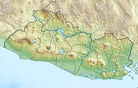
 Guazapa Location in El Salvador | |
| Location | El Salvador |
| Geology | |
| Mountain type | Stratovolcano |
| Last eruption | Unknown |
Guazapa is a stratovolcano in central El Salvador. Guazapa volcano an eroded basaltic stratovolcano 23 km NE of San Salvador city. It is not known whether the Pleistocene volcano is still active. It shows signs of intense erosion that have cut deep valleys into its flanks, suggesting a very long dormancy period, and there is no crater morphology left.
During the civil war of the 1980s, Guazapa was one of the main strongholds of the FMLN guerillas.[citation needed] The Guazapa mountains have clandestine cemeteries, bomb shelters, guerilla camps, and makeshift hospitals.[citation needed]
See also[]
References[]
Categories:
- Mountains of El Salvador
- Stratovolcanoes of El Salvador
- El Salvador geography stubs
