Høybuktmoen
Høybuktmoen
Nuvvosguolbba | |
|---|---|
Airport / Military Camp | |
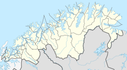
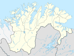 Høybuktmoen Location of Høybuktmoen | |
| Coordinates: 69°43′03″N 29°53′33″E / 69.71750°N 29.89250°ECoordinates: 69°43′03″N 29°53′33″E / 69.71750°N 29.89250°E | |
| Country | Norway |
| Region | Northern Norway |
| County | Troms og Finnmark |
| District | Øst-Finnmark |
| Municipality | Sør-Varanger |
| Elevation | 90 m (300 ft) |
| Time zone | UTC+01:00 (CET) |
| • Summer (DST) | UTC+02:00 (CEST) |


Høybuktmoen (Northern Sami: Nuvvosguolbba) is a moor area in the municipality of Sør-Varanger in Troms og Finnmark county, Norway. It is located about 12 kilometers (7.5 mi) west of the town of Kirkenes. It is the site of Kirkenes Airport, Høybuktmoen and the Garrison of Sør-Varanger. Høybuktmoen is located on a small peninsula between the Bøkfjorden and . The European route E6 highway runs just south of Høybuktmoen.
See also[]
References[]
- ^ "Høybuktmoen" (in Norwegian). yr.no. Retrieved 2013-03-08.
This article about a location in Troms og Finnmark is a stub. You can help Wikipedia by . |
Categories:
- Sør-Varanger
- Norwegian Army bases
- Military installations in Troms og Finnmark
- Villages in Troms og Finnmark
- Troms og Finnmark geography stubs