Hamilton Glacier (Edward VII Peninsula)
From Wikipedia, the free encyclopedia
| Hamilton Glacier | |
|---|---|
 Location of King Edward VII Land (marked in orange) within the Ross Dependency | |
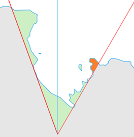
 Location of Hamilton Glacier in Antarctica | |
| Location | King Edward VII Land |
| Coordinates |  77°33′S 157°25′W / 77.550°S 157.417°W / -77.550; -157.417 77°33′S 157°25′W / 77.550°S 157.417°W / -77.550; -157.417 |
| Length | 5 nmi (9 km; 6 mi) |
| Thickness | unknown |
| Terminus | Cape Colbeck |
| Status | unknown |
Hamilton Glacier is a glacier about 5 nautical miles (9 km) long draining northwest from Edward VII Peninsula south of Cape Colbeck, Antarctica. It was named by the Advisory Committee on Antarctic Names after Gordon S. Hamilton of the faculty, University of Maine, who was a theoretical and field researcher of ice motion in the West Antarctic ice stream area from the 1980s.[1]
See also[]
- List of glaciers in the Antarctic
- Glaciology
References[]
- ^ "Hamilton Glacier". Geographic Names Information System. United States Geological Survey. Retrieved 2012-05-18.
![]() This article incorporates public domain material from the United States Geological Survey document: "Hamilton Glacier". (content from the Geographic Names Information System)
This article incorporates public domain material from the United States Geological Survey document: "Hamilton Glacier". (content from the Geographic Names Information System)
Coordinates: 77°33′S 157°25′W / 77.550°S 157.417°W / -77.550; -157.417
Portal: Geography
Glaciers | |||||||
|---|---|---|---|---|---|---|---|
| Types |
| ||||||
| Anatomy |
| ||||||
| Processes |
| ||||||
| Measurements |
| ||||||
| Volcanic relations | |||||||
| Landforms |
| ||||||
| |||||||
Glaciers in the Antarctic | |
|---|---|
|
Glaciers of the Ross Dependency | |
|---|---|
| King Edward VII Land |
|
| Ross Dependency |
|
This article about a glacier in the Ross Dependency is a stub. You can help Wikipedia by . |
- v
- t
Retrieved from ""
Categories:
- Glaciers of King Edward VII Land
- Ross Dependency glacier stubs
Hidden categories:
- Wikipedia articles incorporating text from the USGS Geographic Names Information System
- Coordinates on Wikidata
- All stub articles