High Dar Wood
This article does not cite any sources. (September 2016) |
| High Dar Wood | |
|---|---|
 | |
| Geography | |
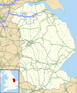
| Location | Lincolnshire, England |
| Coordinates | 53°11′10.6″N 0°11′28″W / 53.186278°N 0.19111°WCoordinates: 53°11′10.6″N 0°11′28″W / 53.186278°N 0.19111°W |
| Elevation | 16m |
| Area | 5.47ha |

High Dar Wood is a small woodland in the hamlet of Linwood in the parish of Stixwould and Woodhall, Lincolnshire. It is approximately a fifth of a mile north of the slightly smaller .
This Lincolnshire location article is a stub. You can help Wikipedia by . |
Categories:
- Forests and woodlands of Lincolnshire
- Lincolnshire geography stubs