Ivan planina
| Ivan | |
|---|---|
| Highest point | |
| Elevation | 1,534 m (5,033 ft) |
| Coordinates | 43°47′31″N 18°00′33″E / 43.79198°N 18.0092°ECoordinates: 43°47′31″N 18°00′33″E / 43.79198°N 18.0092°E |
| Geography | |
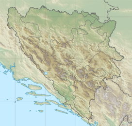
| Location | Bosnia and Herzegovina |
| Parent range | Dinaric Alps |
Ivan planina (Serbian: Иван планина; lit. Ivan Mountain) is a mountain near Hadžići, Konjic and Kreševo, in central Bosnia and Herzegovina. Ivan Mountain is part of Dinaric Alps. It is 1,534 metres (5,033 ft) tall.[1][2]
See also[]
References[]
- ^ Planine i planinski vrhovi viši od 1500 metara nadmorske visine Archived 2011-03-08 at the Wayback Machine (in Croatian), Federation of Bosnia and Herzegovina, Federal Office of Statistics, accessed 2012-09-12
- ^ "Statistical Yearbook of the Federation of Bosnia and Herzegovina" (PDF). Federation of Bosnia and Herzegovina, Federal Office of Statistics. 2009. p. 28. Archived from the original (PDF) on 2011-06-29.
This Herzegovina-Neretva Canton geography article is a stub. You can help Wikipedia by . |
Categories:
- Mountains of Bosnia and Herzegovina
- Mountains of the Federation of Bosnia and Herzegovina
- Konjic
- Herzegovina-Neretva Canton geography stubs