Józefów
Józefów | |
|---|---|
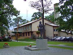 Town centre | |
 Flag  Coat of arms | |
 Józefów | |
| Coordinates: 52°8′8″N 21°14′13″E / 52.13556°N 21.23694°E | |
| Country | |
| Voivodeship | Masovian |
| County | Otwock |
| Gmina | Józefów (urban gmina) |
| Town rights | 1962 |
| Government | |
| • Mayor | Stanisław Kruszewski |
| Area | |
| • Total | 23.92 km2 (9.24 sq mi) |
| Elevation | 94 m (308 ft) |
| Population (2019) | |
| • Total | 20,605 |
| • Density | 860/km2 (2,200/sq mi) |
| Time zone | UTC+1 (CET) |
| • Summer (DST) | UTC+2 (CEST) |
| Postal code | 05-420, 05-410 |
| Area code(s) | +48 22 |
| Car plates | WOT |
| Website | http://jozefow.pl |

Józefów (Polish pronunciation: [juˈzɛfuf]) is a town in east-central Poland, located in Masovian Voivodeship, in Otwock County. It lies about 15 kilometres (9 miles) southeast of Warsaw city centre and is a part of that city's metropolitan area. Located on a picturesque confluence of Vistula and Świder rivers, it is home to one landscape reserve and three natural reservation zones. As of 2006 it had 18,157 inhabitants.[1]
Gallery[]
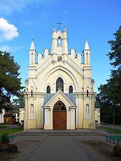
Church of the Black Madonna of Częstochowa
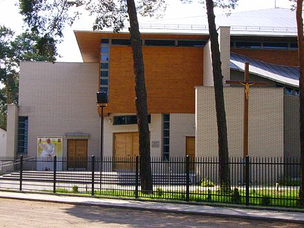
Church of St John the Baptist


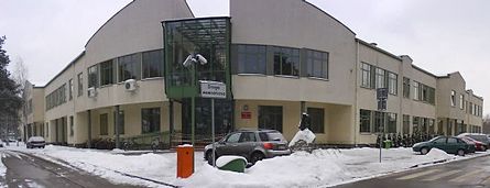
Public gymnasium

Police station


References[]
- ^ Jozefow.pl, Official website.
External links[]
![]() Media related to Józefów (powiat otwocki) at Wikimedia Commons
Media related to Józefów (powiat otwocki) at Wikimedia Commons
- Jewish Community in Józefów on Virtual Shtetl
- Museums and historical monuments at Józefów homepage.
Coordinates: 52°08′N 21°14′E / 52.133°N 21.233°E
| hide | ||
|---|---|---|
| Urban gminas |  | |
| Urban-rural gmina | ||
| Rural gminas | ||
| show Authority control |
|---|
Categories:
- Cities and towns in Masovian Voivodeship
- Otwock County
- Warsaw Governorate
- Warsaw Voivodeship (1919–1939)