Königsdorf, Austria
Königsdorf | |
|---|---|
 Municipal office | |
 Coat of arms | |
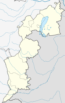 Königsdorf Location within Burgenland | |
| Coordinates: 47°0′N 16°10′E / 47.000°N 16.167°ECoordinates: 47°0′N 16°10′E / 47.000°N 16.167°E | |
| Country | Austria |
| State | Burgenland |
| District | Jennersdorf |
| Government | |
| • Mayor | Mario Trinkl (SPÖ) |
| Area | |
| • Total | 15.67 km2 (6.05 sq mi) |
| Elevation | 236 m (774 ft) |
| Population (2018-01-01)[2] | |
| • Total | 720 |
| • Density | 46/km2 (120/sq mi) |
| Time zone | UTC+1 (CET) |
| • Summer (DST) | UTC+2 (CEST) |
| Postal code | 7563 |
| Website | https://www.koenigsdorf.at/ |


Königsdorf (Hungarian: Királyfalva, Slovene: Kraljevci) is a town in the district of Jennersdorf in the Austrian state of Burgenland.
Population[]
| Year | Pop. | ±% |
|---|---|---|
| 1869 | 1,373 | — |
| 1880 | 1,374 | +0.1% |
| 1890 | 1,373 | −0.1% |
| 1900 | 1,226 | −10.7% |
| 1910 | 1,183 | −3.5% |
| 1923 | 1,093 | −7.6% |
| 1934 | 1,100 | +0.6% |
| 1939 | 1,081 | −1.7% |
| 1951 | 882 | −18.4% |
| 1961 | 850 | −3.6% |
| 1971 | 805 | −5.3% |
| 1981 | 895 | +11.2% |
| 1991 | 781 | −12.7% |
| 2001 | 757 | −3.1% |
| 2011 | 711 | −6.1% |
References[]
- ^ "Dauersiedlungsraum der Gemeinden Politischen Bezirke und Bundesländer - Gebietsstand 1.1.2018". Statistics Austria. Retrieved 10 March 2019.
- ^ "Einwohnerzahl 1.1.2018 nach Gemeinden mit Status, Gebietsstand 1.1.2018". Statistics Austria. Retrieved 9 March 2019.
| Authority control |
|---|
This Burgenland location article is a stub. You can help Wikipedia by . |
Categories:
- Cities and towns in Jennersdorf District
- Slovenian communities in Burgenland
- Burgenland geography stubs