Kasalia
Kasalia | |
|---|---|
Village | |
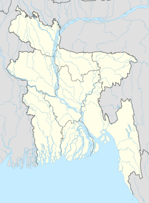 Kasalia Location in Bangladesh | |
| Coordinates: 23°15′N 89°55′E / 23.250°N 89.917°E | |
| Country | |
| Division | Dhaka Division |
| District | Gopalganj District |
| Upazila | Muksudpur Upazila |
| Area | |
| • Total | 4 km2 (2 sq mi) |
| Population | |
| • Total | 4,500 |
| • Density | 1,100/km2 (2,900/sq mi) |
| Time zone | UTC+6 (Bangladesh Time) |

Kasalia is a village in Gopalganj District, Bangladesh, part of Muksudpur Upazila. The village covers an area of 4 km2, and is bordered by the villages of Nanikhir, , Nawkhanda and , . Pathorghata's main canal is the and flow up to Kasalia . The at Jalirpar joins with the to the river Padma
Kasalia also is a Union Parishad under was established in 1634 consist of eight number of villages. The village consists of three wards and few mahallas. The village has a high school, a primary school, seven mosques, a government hospital, and few community schools.
Non-governmental organizations operating in Pathorghata include (the Bangladesh Development Acceleration Organisation), BRAC, CCDB, ASA, World Vision, and HCCB.
References[]
Coordinates: 23°15′N 89°55′E / 23.250°N 89.917°E
This Dhaka Division location article is a stub. You can help Wikipedia by . |
- Populated places in Dhaka Division
- Dhaka Division geography stubs