Kaw Mountain
| Kaw Mountain | |
|---|---|
 View from the mountain | |
| Highest point | |
| Elevation | 337 m (1,106 ft)[1] |
| Coordinates | 4°35′57″N 52°17′14″W / 4.5992°N 52.2872°WCoordinates: 4°35′57″N 52°17′14″W / 4.5992°N 52.2872°W |
| Geography | |
 Kaw Mountain Location in French Guiana | |
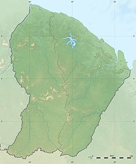
| Location | Roura, French Guiana |

The Kaw Mountain is a 337 metres high mountain in the commune of Roura in French Guiana, France. It is a narrow tepui with a laterite top.[2]
Overview[]
Kaw Mountain is covered in rainforest and is part of the northern range of the Guiana Shield. The mountain is an obstacle to the trade winds leading to a very high humidity[3] resulting in an abundance of plant- and animal life.[4] The northern streams of the mountain flow into the Angélique Creek, the southern streams feed the Kaw and Mahury River.[3]
The mountain is located near the Kaw-Roura Marshland Nature Reserve.[5] On 12 February 2010, the General Council of French Guiana voted to protect the mountain and surrounding area as the Trésor Regional Nature Reserve.[6]
References[]
- ^ "Carte IGN classique". Géoportail (in French). Retrieved 19 March 2021.
- ^ Hilaire Annonay & Christian Feuillet (1997). "PASSIFLORA CERASINA, A NEW SPECIES OF PASSIFLORA SUBGENUS PASSIFLORA (PASSIFLORACEAE) FROM FRENCH GUIANA". SIDA, Contributions to Botany. 17 (3): Resume.
- ^ Jump up to: a b "Montagnes de Kaw-Roura" (PDF). DEAL France (in French). Retrieved 19 March 2021.
- ^ "Trésor". Reserves Naturelles (in French). Retrieved 19 March 2021.
- ^ "Présentation". Réserve Trésor (in French). Retrieved 19 March 2021.
- ^ "Délibération de création de la réserve" (PDF). Inventaire National du Patrimoine Naturel (in French). Retrieved 19 March 2021.
| Wikimedia Commons has media related to Montagne de Kaw. |
| Authority control |
|
|---|
This French Guiana (Guyane) location article is a stub. You can help Wikipedia by . |
This South America mountain, mountain range, or peak related article is a stub. You can help Wikipedia by . |
- Mountains of French Guiana
- Roura
- French Guiana geography stubs
- South America mountain stubs