Kyperounta
Kyperounta Town
Κυπερούντα Town | |
|---|---|
Town | |
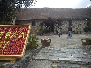
 Scenic view of Kyperounta | |
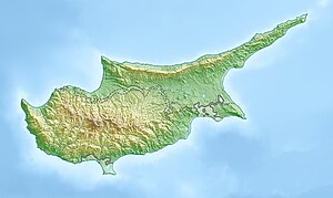 Kyperounta Town Location in Cyprus | |
| Coordinates: 34°56′29″N 32°58′9″E / 34.94139°N 32.96917°ECoordinates: 34°56′29″N 32°58′9″E / 34.94139°N 32.96917°E | |
| Country | |
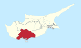
| District | Limassol District |
| Population (2001)[1] | |
| • Total | 1,497 |
| Time zone | UTC+2 (EET) |
| • Summer (DST) | UTC+3 (EEST) |

Kyperounta (Greek: Κυπερούντα) is a town in Cyprus. It lies at an altitude of 1130–1300 meters and it is the highest town in Cyprus. With a population in approximately 1,500 it can be called the head-town of Pitsilia. The town took its name from the plant Cyperus rotundus (kyperos). Kyperounda was established during the Byzantine period. At historical documents was called "Chiperonda."
Church Agias Marinas

church of Virgin Mary (Panagia) and Chrysosotiros
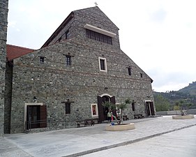
Saint Arsenios church


References[]
External links[]
| Wikimedia Commons has media related to Kyperounta. |
- Newsreel dating from 1955 showing British soldiers rounding up villagers and searching the village for arms during the EOKA struggle
| show Authority control |
|---|
This Cyprus location article is a stub. You can help Wikipedia by . |
Categories:
- Communities in Limassol District
- Cyprus geography stubs