Laguna de Calderas
| Laguna de Calderas | |
|---|---|
 Laguna de Calderas | |
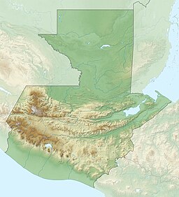
| Location | San Vicente Pacaya, Escuintla |
| Coordinates | 14°24′40″N 90°35′25″W / 14.41111°N 90.59028°WCoordinates: 14°24′40″N 90°35′25″W / 14.41111°N 90.59028°W |
| Lake type | Crater lake |
| Basin countries | Guatemala |
| Surface area | 0.11 km2 (0.042 sq mi) |
| Surface elevation | 1,778 m (5,833 ft) |

Laguna de Calderas is a crater lake in the municipality of Amatitlán, Guatemala, Guatemala. It is located approximately 6 km south of Lake Amatitlán and 3 km north of the currently active vent of the Pacaya volcano. The lake has a surface area of 11 ha and is situated at an altitude of 1778 m.[1]
References[]
- ^ Dix, Margareth & Juan F. Fernández (eds). Inventario Nacional de los Humedales de Guatemala (PDF) (in Spanish). Guatemala: UICN-ORMA, CONAP, USAC, CBMA. ISBN 9968-743-58-5. Archived from the original (PDF) on 2011-07-21.
{{cite book}}:|author=has generic name (help)
This Guatemala location article is a stub. You can help Wikipedia by . |
Categories:
- Lakes of Guatemala
- Volcanic crater lakes
- Calderas of Central America
- Geography of the Guatemala Department
- Guatemala geography stubs