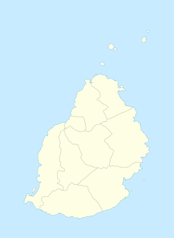
Le Hochet
Le Hochet | |
|---|---|
Village | |
 Le Hochet | |
| Coordinates: 20°8′6″S 57°31′16″E / 20.13500°S 57.52111°ECoordinates: 20°8′6″S 57°31′16″E / 20.13500°S 57.52111°E | |
| Country | |
| Districts | Pamplemousses District |
| Elevation | 38 m (125 ft) |
| Population (2011)[1] | |
| • Total | 15,034 |
| Time zone | UTC+4 (MUT) |
| Area code(s) | 230 |
| ISO 3166 code | MU |
Le Hochet is a village located in the Pamplemousses District of Mauritius. According to the Statistics Mauritius census in 2011, the population was 15,034.[1]
See also[]
References[]
- ^ a b "Table G1 - Resident population by geographical location, whereabouts on census night and sex" (PDF). Statistics Mauritius. 2011: 1. Archived from the original (PDF) on 3 March 2016. Retrieved 8 September 2013. Cite journal requires
|journal=(help)
Categories:
- Pamplemousses District
- Populated places in Mauritius
- Mauritius geography stubs
