Leisele
This article does not cite any sources. (January 2013) |
Leisele | |
|---|---|
 | |
| Coordinates: 50°59′5″N 2°37′20″E / 50.98472°N 2.62222°ECoordinates: 50°59′5″N 2°37′20″E / 50.98472°N 2.62222°E | |
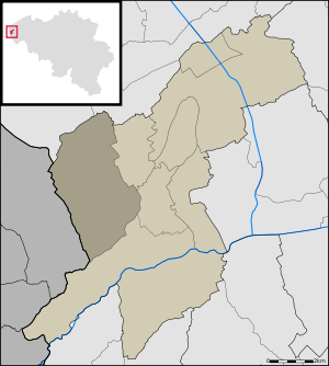
| Country | Belgium |
| Province | West Flanders |
| Municipality | Alveringem |
| Area | |
| • Total | 15.38 km2 (5.94 sq mi) |
| Population (1999-01-01) | |
| • Total | 774 |
| • Density | 50/km2 (130/sq mi) |
| Source: NIS | |
| Postal code | 8691 |
Leisele is a small Belgian town in Alveringem near the French border with about 750 inhabitants.

Saint Martinus Church, as seen from main road

Stalijzermolen windmill

Inghels farm
This West Flanders location article is a stub. You can help Wikipedia by . |
Categories:
- Populated places in West Flanders
- Alveringem
- West Flanders geography stubs