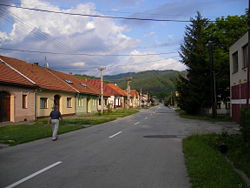
Lučatín
Lučatín | |
|---|---|
Village | |
 | |
 Lučatín Location of Lučatín in the Banská Bystrica Region | |
| Coordinates: 48°47′N 19°20′E / 48.783°N 19.333°ECoordinates: 48°47′N 19°20′E / 48.783°N 19.333°E | |
| Country | Slovakia |
| Region | Banská Bystrica |
| District | Banská Bystrica |
| First mentioned | 1424 |
| Area | |
| • Total | 10.88 km2 (4.20 sq mi) |
| Elevation | 388 m (1,273 ft) |
| Population (2004-12-31) | |
| • Total | 593 |
| • Density | 55/km2 (140/sq mi) |
| Postal code | 976 61 |
| Area code(s) | +421-48 |
| Car plate | BB |


Lučatín is a village and municipality in Banská Bystrica District in the Banská Bystrica Region of central Slovakia.
History[]
In historical records the village was first mentioned in 1424.
Geography[]
The municipality lies at an altitude of 388 metres and covers an area of 10.833 km². It has a population of about 593 people.
External links[]
This Banská Bystrica Region geography article is a stub. You can help Wikipedia by . |
Categories:
- Villages and municipalities in Banská Bystrica District
- Banská Bystrica Region geography stubs