Lukula
Lukula and surrounding area.
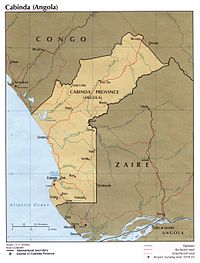
Lukula is a town in, and a territory of Kongo Central province, Democratic Republic of the Congo. It lies on the road and disused Mayumbe railway line between Boma, to the south, and Tshela, to the north, on the southern bank of the Lakula river.[1][2][3] Lukula lies at an altitude of 646 ft (196 m) above sea level. Economic activity includes cement production, utilising locally occurring limestone,[4] and commercial Logging.[5]
See also[]
- Railway stations in Congo
References[]
- ^ National Geographic Atlas of the World: Revised Sixth Edition, National Geographic Society, 1992
- ^ www.maplandia.com
- ^ "www.maplibrary.org". Archived from the original on 2009-02-09. Retrieved 2009-02-08.
- ^ http://www.uoguelph.ca/~geology/rocks_for_crops/19congo_drc.PDF[dead link]
- ^ [1]
External links[]
Coordinates: 05°24′00″S 12°56′00″E / 5.40000°S 12.93333°E

| Cities and communes |
| ||||||
|---|---|---|---|---|---|---|---|
| Districts and territories |
| ||||||
This Democratic Republic of the Congo location article is a stub. You can help Wikipedia by . |
Categories:
- Populated places in Kongo Central
- Democratic Republic of the Congo geography stubs