Manipur River
| Manipur River | |
|---|---|
 Manipur River flows through Chin Hills near Tedim Town | |
 | |
| Location | |
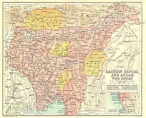
| Country | India / Myanmar |
| State | Manipur / |
| Physical characteristics | |
| Source | |
| • coordinates | 24°25′47″N 93°50′19″E / 24.4297589°N 93.838581°E |
| Mouth | |
• location | Myittha |
• coordinates | 22°52′N 94°5′E / 22.867°N 94.083°ECoordinates: 22°52′N 94°5′E / 22.867°N 94.083°E |

Manipur River (Burmese: မဏိပူရမြစ်), also called Kathe Khyoung (ကသည်းချောင်း),[1] is a river in India's Manipur state that flows into Myanmar, where it merges with the Myittha River, a tributary of the Chindwin river.[2]
Tributaries[]
See also[]
- List of rivers of Burma
References[]
- ^ Siṃha, Kārāma Manimohana (1989), Hijam Irabot Singh and Political Movements in Manipur, B.R. Publishing Corporation, ISBN 978-81-7018-578-9
- ^ Sutapa Sengupta (2006). Rivers and Riverine Landscape in North East India. Concept Publishing Company. p. 19. ISBN 978-81-8069-276-5.
| Authority control: National libraries |
|---|
Categories:
- Rivers of Myanmar
- Rivers of Manipur
- Rivers of India
- India river stubs
- Asia river stubs
- Myanmar geography stubs