Manonga River
| Manonga River | |
|---|---|
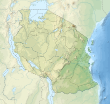 Relief location map of Tanzania | |
| Location | |
| Country | Tanzania |
| Region | Tabora |
| Region | Singida |
| Region | Shinyanga |
| Physical characteristics | |
| Source | |
| • elevation | 1,039 m (3,409 ft) above sea level |
| Mouth | |
• location | Lake Kitangiri |
Manonga River, also known as Manyonga, is a river in Tanzania, which flows eastwards into Lake Kitangiri. During the dry season, from June to November, the Manonga River is completely dry.[1]
References[]
- ^ Harrison, Terry; Mbago, Michael L.; Msuya, Charles (June 1997). "TANZANIA: New archaeological sites in the Manonga Valley, north-central Tanzania" (PDF). Nyame Akuma: The Bulletin of the Society of Africanist Archaeologists (47): 53 and 58. Archived from the original (PDF) on 2006-02-06. Google Quick View.
| Authority control |
|
|---|
Coordinates: 4°08′S 34°12′E / 4.133°S 34.200°E

Categories:
- Rivers of Tanzania
- Southern Eastern Rift
- Africa river stubs
- Tanzania geography stubs