Meadow Lake 105A
Meadow Lake 105A | |
|---|---|
| Meadow Lake Indian Reserve No. 105A | |
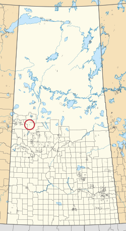 Location in Saskatchewan | |
| First Nation | Flying Dust |
| Country | Canada |
| Province | Saskatchewan |
| Area | |
| • Total | 257.3 ha (635.8 acres) |
| Population (2016)[2] | |
| • Total | 0 |
| • Density | 0.0/km2 (0.0/sq mi) |
Meadow Lake 105A is an Indian reserve of the Flying Dust First Nation in Saskatchewan.[1][3] It is 7 miles southwest of Meadow Lake. In the 2016 Canadian Census, it recorded a population of 0 living in 0 of its 1 total private dwellings.[2]
References[]
- ^ a b "Reserve/Settlement/Village Detail". Indigenous and Northern Affairs Canada. Government of Canada. Retrieved August 12, 2019.
- ^ a b "Census Profile, 2016 Census". Statistics Canada. February 8, 2017. Retrieved 2019-08-10.
- ^ "Canada Lands Survey System - CLSS Map Browser". Natural Resources Canada. Retrieved 2019-10-09.
| Cities |
|  |
|---|---|---|
| Towns |
| |
| Villages |
| |
| Resort villages |
| |
| Rural municipalities |
| |
| First Nations | ||
| Indian reserves | ||
| Unincorporated communities | ||
Coordinates: 54°02′33″N 108°31′20″W / 54.0424°N 108.5221°W

This article about a location in the Census Division No. 17 of Saskatchewan is a stub. You can help Wikipedia by . |
This article about an Indian reserve in Saskatchewan is a stub. You can help Wikipedia by . |
Categories:
- Indian reserves in Saskatchewan
- Division No. 17, Saskatchewan
- Saskatchewan Division No. 17 geography stubs
- Saskatchewan Indian reserve stubs