Modrovka
Modrovka | |
|---|---|
Village | |
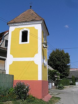 Bell tower | |
 Modrovka Location of Modrovka in the Trenčín Region | |
| Coordinates: 48°38′55″N 17°52′55″E / 48.64861°N 17.88194°ECoordinates: 48°38′55″N 17°52′55″E / 48.64861°N 17.88194°E | |
| Country | Slovakia |
| Region | Trenčín |
| District | Nové Mesto nad Váhom |
| First mentioned | 1348 |
| Area | |
| • Total | 3.16 km2 (1.22 sq mi) |
| Elevation | 173 m (568 ft) |
| Population (2004-12-31) | |
| • Total | 224 |
| • Density | 71/km2 (180/sq mi) |
| Postal code | 916 35 |
| Car plate | NM |
| Website | www.modrovka.sk |


Modrovka (Hungarian: Kismodró) is a village and municipality in Nové Mesto nad Váhom District in the Trenčín Region of western Slovakia.
History[]
In historical records the village was first mentioned in 1380.
Geography[]
The municipality lies at an altitude of 170 metres and covers an area of 3.160 km². It has a population of about 224 people.
External links[]
![]() Media related to Modrovka at Wikimedia Commons
Media related to Modrovka at Wikimedia Commons
This Trenčín District location article is a stub. You can help Wikipedia by . |
Categories:
- Villages and municipalities in Nové Mesto nad Váhom District
- Trenčín geography stubs