Moncong Lompobatang
| Moncong Lompobatang | |
|---|---|
 Moncong Lompobatang Sulawesi, Indonesia | |
| Highest point | |
| Elevation | 2,874 m (9,429 ft)[1] |
| Prominence | 2,857 m (9,373 ft)[1] Ranked 116th |
| Isolation | 217 km (135 mi) |
| Listing | Ultra Ribu |
| Coordinates | 05°20′48″S 119°55′54″E / 5.34667°S 119.93167°ECoordinates: 05°20′48″S 119°55′54″E / 5.34667°S 119.93167°E[1] |
| Geography | |
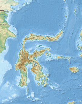
| Location | Sulawesi, Indonesia |
| Climbing | |
| First ascent | 1840 by James Brooke |
| Easiest route | Long hike |

Moncong Lompobatang is a mountain in Indonesia with an elevation of 2,874 m. Moncong Lompobatang is ranked 116th in the world by topographic prominence.
There is a small antenna compound at the summit of Moncong Lompobatang, along with a triangular pillar and a boulder with the names previous climbers written on it.[2] One kilometre north of the summit lies a slightly lower sub-peak known as Puncak Kohbang / Ko’bang (2,870 m) which is the alleged site of the tomb of a .[2] The two peaks, including the entire mountain and its surrounding area, are considered spiritually significant among local people.[2]
See also[]
- List of Ultras of Malay Archipelago
References[]
- ^ Jump up to: a b c "Mountains of the Indonesian Archipelago" Peaklist.org. Retrieved 2012-04-17.
- ^ Jump up to: a b c "Moncong Lompobatang" GunungBagging.com. Retrieved 2012-04-17.
External links[]
This South Sulawesi location article is a stub. You can help Wikipedia by . |
Categories:
- Mountains of Sulawesi
- Landforms of South Sulawesi
- Sulawesi geography stubs