Mount Hector (New Zealand)
| Mount Hector | |
|---|---|
 Mt Hector in the winter | |
| Highest point | |
| Elevation | 1,529 m (5,016 ft) |
| Coordinates | 40°57′S 175°17′E / 40.950°S 175.283°ECoordinates: 40°57′S 175°17′E / 40.950°S 175.283°E |
| Geography | |
 Mount Hector | |
| Parent range | Tararua Range |

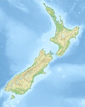
Mount Hector is one of the highest peaks in the Tararua Range,[1] situated in the lower North Island of New Zealand. It has a height of 1,529 metres (5,016 ft).
The peak is named after James Hector a leading scientist in New Zealand during the 19th century.[2]
Mt Hector is the site of a memorial cross commemorating trampers killed in the Second World War.[3]
References[]
- ^ Maclean, Chris (7 March 2011). "Wellington places - Tararua Range". Te Ara - the Encyclopedia of New Zealand.
- ^ The Rutherford Journal: Places in New Zealand Named After Scientists Retrieved on 15 October 2009
- ^ "Mt Hector war memorial". New Zealand history online. New Zealand Ministry for Culture and Heritage. 2012. Retrieved 14 January 2012.
| Wikimedia Commons has media related to Category:Mount Hector (New Zealand). |
This Wellington Region-related geography article is a stub. You can help Wikipedia by . |
Categories:
- Mountains of the Wellington Region
- Tararua Range
- Wellington Region geography stubs