Mount Sabih
| Sabih | |
|---|---|
 | |
| Highest point | |
| Coordinates | 32°08′37″N 35°17′15″E / 32.14361°N 35.28750°ECoordinates: 32°08′37″N 35°17′15″E / 32.14361°N 35.28750°E |
| Geography | |
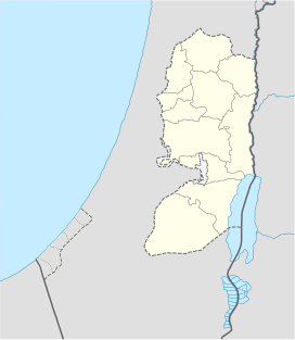
 Sabih Location of Mount Sabih within Palestine | |

Mount Sabih is a mountain located between 3 Palestinian villages, Qabalan, Yatma and Beita, south of Nablus. Mount Sabih has several peaks, the highest most southern of which was occupied in May 2021 by settlers who established an illegal Israeli outpost named Evyatar.[1] The mountain is a natural extension of the coastal mountain range in the city of Nablus, and the mountain also belongs to the Nablus mountain range within the geography of Nablus. The height of Jabal Sabih is 570 meters, and it is among the highest peaks in the vicinity of Nablus.
After a compromise with the Israeli authorities stipulating that the settlers may return if the land is subsequently deemed state-owned, the settlement was vacated on 2 July 2021.[2] On July 8, 2021, the local councils of Beita, Yatma and Qabalan and nine Palestinians from Qabalan petitioned Israel's High Court of Justice to revoke this compromise on the grounds that they hold the rights to the land.[3][4][5]
References[]
- ^ "Reality of a West Bank Outpost: Four Dead Palestinians and a Drone Spraying Tear Gas" – via Haaretz.
- ^ "Settlers vacate illegal Evyatar outpost as deal to keep it intact takes effect." The Times of Israel, July 2, 2021.
- ^ "Palestinians claiming land at illegal outpost take Israel's deal with settlers to court". Haaretz.
- ^ "Settlement & Annexation Report: July 9, 2021".
- ^ "Palestinian owners of land on Jabal Sabih petition Israeli High Court for the cancelation of settlement deal". WAFA Agency.
- Mountains of Nablus